








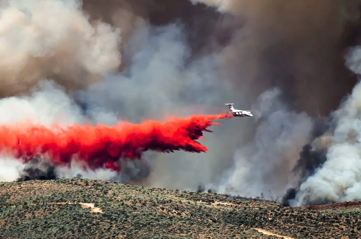
As we do every day, our specialist website Forest fires publishes the fire risk map. This vital map, eagerly awaited by residents of high-risk areas, provides a comprehensive overview of the current situation regarding forest and bush fires.
A useful compilation, though not exhaustive
It is important to note that this map is a compilation of the prefecture maps and the forest weather map produced by Météo France. Although it is a valuable indicator, it does not replace the prefecture maps for each department. Depending on the risk, the local regulations is different and must be respected.
Current situation: a state of alert in the south-east
According to the latest update, several departments are at moderate risk, particularly in the Occitanie and Sud regions. The situation requires constant attention and monitoring by the fire service, patrols from the municipal forest fire committees, municipal and inter-municipal civil protection reserves, and officials from the National Forestry Office.
>> View the daily risk assessment and the wildfire map in cours.
Var: areas at very high risk
The risk is even more pronounced in certain areas of some departments, particularly in the Var. Some parts of this department have been classified as being at very high risk, which requires enhanced preventive measures and increased vigilance on the part of residents and visitors.
Advice for residents
Given this situation, which remains a cause for concern, here are some essential tips for residents in high-risk areas:
- Stay up to date: Check the prefectures’ websites regularly and Forest fires for the latest updates.
- Please follow local rules: Please follow the regulations specific to your county regarding open fires, barbecues and the use of equipment that may produce sparks.
- Please be careful: Report any signs of a fire to the emergency services immediately.
- Prevent risks: Remove any flammable materials from near homes and use equipment that complies with safety standards.
The fire season calls for constant vigilance and caution. The fire risk map for Forest fires is a valuable tool in this fight, but it must be used in conjunction with the information and regulations provided by local prefectures. The safety of our forests and communities depends on everyone’s responsibility and vigilance.