










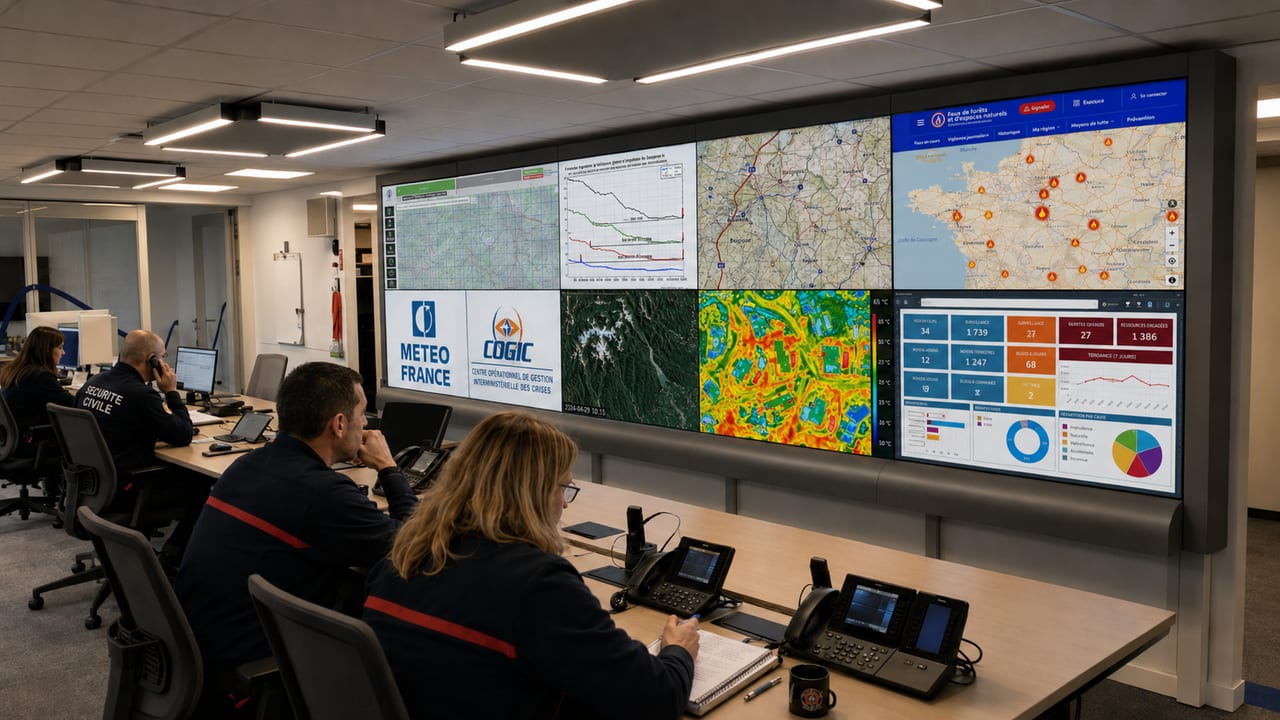
In France, the Civil Protection places early warning at the heart of its strategy to combat forest and bush fires. The emergency services make use of specialist meteorological support. This operational support differs from the ‘Forest Weather’ service aimed at the general public.
Météo-France produces indices throughout the year under an agreement with the Directorate-General for Civil Protection and Crisis Management.
The relevant departments access this information via a secure extranet. Météo-France also sends weekly summaries to the Interministerial Crisis Management Operations Centre (COGIC).
Three weather indicators guide firefighters in tackling fires
The first indicator is called NSV2. It measures the level of dryness in living vegetation, particularly in the shrub layer. This vegetation plays an important role in the spread of a fire.
A high level therefore indicates that the vegetation is more vulnerable to fire. The authorities always supplement this index with local factors, such as the type of vegetation or its health status.
The second indicator, known as IEPx, analyses the conditions conducive to the outbreak and spread of a fire. It covers dry grass, undergrowth and crops, as well as dead or dormant vegetation during the winter.
In summer, this index helps the head of rescue operations to anticipate fire jumps. These projectiles of burning vegetation can create new fires at a distance.
The third tool is the integrated hazard index. Météo-France It calculates this by cross-referencing the Weather Forest Index, or IFMx, with the NSV2.
This indicator assesses the risk associated with living vegetation from spring to autumn. It reduces the level suggested by the IFMx when drought conditions remain mild. It increases it slightly when vegetation reaches a very high level of drought.
Météo-France calculates the IEPx and the hazard index at the most unfavourable time of day. The calculations also take wind gusts into account. A map shows the time at which each index reaches its peak. Forecasters also monitor weather conditions throughout the day.
How do firefighters adapt their resources before a fire?
Regional command centres and departmental fire and rescue services (SDIS) use these indices to determine the scale of their operations. They may step up surveillance, pre-position vehicles in a mountain range or request additional resources, such as preventive response teams.
When indicators suggest a high risk of an incident occurring and spreading, those in charge shorten response times. They also increase response capacity.
During the summer season, Météo-France deploys specially trained forecasters to its coordination centres. The South, South-West and West regions, in particular, receive expert analysis and specific forecasts.
When a fire breaks out, forecasters may also issue a local bulletin. This document brings together the meteorological data relevant to the operations.
The ONF supplements the fire service’s weather support
The National Forestry Office is carrying out this assessment. Its staff are measuring the actual water content of several plant species across a network of plot sites.
The ONF also publishes maps showing the sensitivity of living vegetation. It cross-references the level of drought with the type of vegetation present in each area.
However, weather maps alone are not sufficient to determine the risk of fire. Those in charge also take into account the number of people in the area, agricultural or forestry activities, access routes, water supplies and the resources already deployed.
This comprehensive analysis has three objectives. It aims to prevent fires from breaking out, to bring initial outbreaks under control quickly, and to limit the risk of catastrophic developments.